In Brief
🗺️ Retrospective plans accessible for free: the Napoleonic cadastres cover nearly 95% of the metropolitan territory and can be consulted online via departmental archives and the Géoportail platform.
🔍 Simplified access by municipality and section: just select your department, the municipality, and the cadastral section to display the digitized geometric sheet.
📂 Download and print in PDF format: most portals offer a “print” mode allowing you to retrieve the high-definition plan for your research.
Context and Interest of the Napoleonic Cadastre
Origins and Implementation
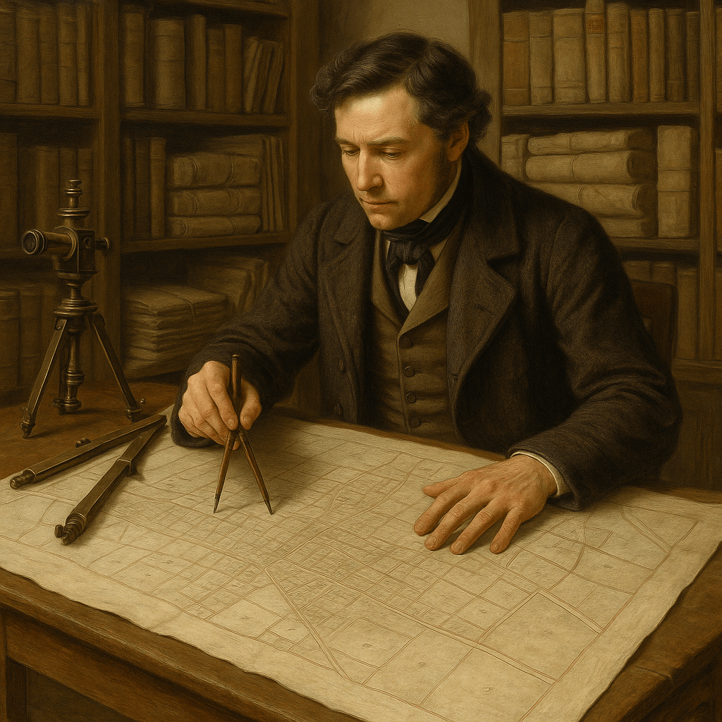
At the beginning of the 19th century, Napoleon I initiated a systematic inventory of lands to stabilize the taxation resulting from the Revolution. This large-scale project resulted in the creation of geometric plans, sheet by sheet, with remarkable metric precision. Each parcel was assigned a number and an area, hand-drawn by surveyors, taking into account reliefs and watercourses. In reality, these documents constitute the first official cadastral mapping that foreshadows our modern territorial management tools.
Historical and Heritage Value
Beyond their administrative interest, these plans are a treasure for historians, architects, or heritage enthusiasts. They reveal rural organization, property distribution, and the evolution of villages before the industrial boom. Compared to contemporary cadastres, they offer a visual testimony of urban expansion and the disappearance of certain enclaves. Many heritage associations use them to reconstruct old buildings or trace the evolution of farms and outbuildings.
Official Sources for Free Consultation
Several public platforms offer these documents for free consultation. Each presents its specificities, both in ergonomics and scan quality.
Departmental Archives
Each department preserves its cadastral records: most departmental archive websites include a search module by municipality. You will often find a catalog listing the series, followed by direct access to the cadastral map images. The zoom level varies depending on the services, but generally, you can view the details of parcels, buildings, and even topographical details such as embankments or woods. No subscription is required, but some services require creating a free account to download the maps.
Géoportail (IGN)
The Géoportail platform, managed by the National Institute of Geographic and Forest Information, has incorporated the Napoleonic cadastre into its collection of historical layers. Thanks to a time slider, old maps can be superimposed on the current map, which facilitates reading the evolution of the landscape. Sometimes, differences in contrast or sharpness are observed depending on the municipality, but overall navigation remains smooth and downloading is hassle-free.
Step-by-step guide to consulting the cadastral map
- Choose the platform: go to the Departmental Archives or Géoportail.
- Select the department: the dropdown list displays all metropolitan French departments.
- Choose the municipality and section: the maps are classified by letter (A, B, C…) corresponding to sectors of the municipality.
- Load the cadastral sheet: a simple click opens the map in an integrated viewer.
- Download or print: most services offer a “print” option that generates a high-resolution PDF.
Portal comparison
| Platform | Type of map | Max zoom | Key features |
|---|---|---|---|
| Departmental Archives | Cadastral sheets | 16× | Direct download, catalog by series |
| Géoportail | Historical overlay | 20× | Time slider, multiple layers |
| Cadastre.gouv.fr | Modern and old maps | 12× | Unified interface, PDF export |
Tips for effective research
Identify the cadastral section
Identifying the section letter is crucial: without it, you risk navigating blindly through hundreds of sheets. Modern cadastral maps often specify this information directly on the current map, saving valuable time.
Use zoom and annotation tools
- Use the integrated magnifier to read very fine surface measurements.
- Some viewers allow adding markers or highlighting a parcel to include the information in your notes.
- For professional use, export the view in SVG when possible to preserve vector quality.
Case Studies: Practical Applications
Several researchers and associations use these maps to establish the chronology of a property. For example, a building historian can reconstruct the evolution of a farm from 1810 to today by combining the Napoleonic cadastre and the modern cadastre.
For genealogists, these documents help to precisely locate an ancestor’s house and understand its agricultural operation. When the numbered plot is identified, the size, shape, and position of each lot are obtained, adding a visual dimension to a simple place name.
FAQ
Does the Napoleonic cadastre cover the overseas departments and territories?
No, the majority of digitized archives concern metropolitan France. For the overseas departments, it is necessary to contact local archive services or departmental overseas centers.
Can these maps be cited in a publication?
Yes, these documents are freely accessible. However, it is appropriate to mention the source (departmental archives or Géoportail) and the sheet reference (municipality, section, plan number).
Are there vector versions of the Napoleonic cadastre?
Some open data initiatives offer vectorization of portions of maps. However, for now, the majority of official documents remain in raster image format. It is possible to use third-party tools to convert these images into SVG.