From manuscripts to engraving: the origins of the paper map
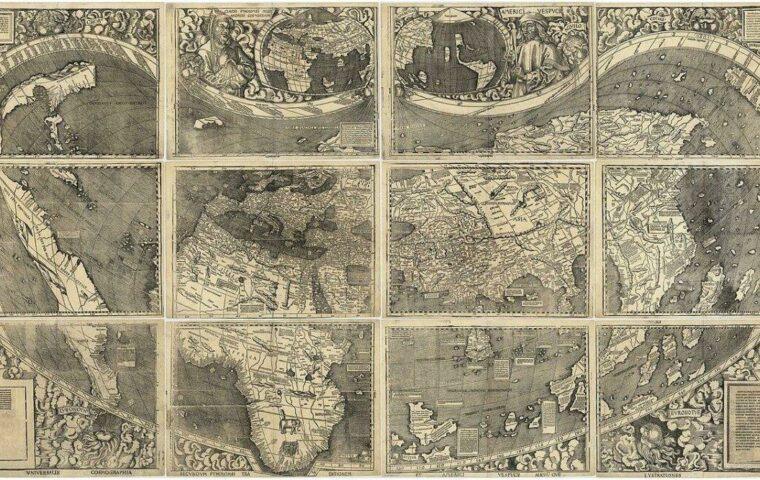
Before Gutenberg’s printing press, the cartographer’s hand trembled on the parchment. The earliest maps are often imagined as fragile sheets dotted with line-drawn mountains, but they already carried an ambition: to describe a territory in order to understand and control it. In Gaul, some plates made in the Middle Ages mainly served pilgrims, often with symbolic representations. It was the Renaissance that brought geometric rigor, thanks to Copernicus, Vespucci, and Mercator.
The real turning point came with the Cassini map, published by the dynasty of cartographers under Louis XV. It was no longer about assembling stories, but a meticulous team effort: triangulation in the field, astronomical surveys, and copper engraving. The sheets of the “Atlas of France” drew the first coherent scientific image of the Hexagon, distributed in scholars’ cabinets and the king’s library.
The first printed maps
Wood or copper engraving, combined with printing, democratized access to maps. In Brittany, local publishers distributed port plans useful to sailors. Regarding medicine of the time, there were even topographic maps to treat fevers according to the altitude of villages. When these mixtures of knowledge are combined, one understands the hybridization between science, commerce, and politics from the origin of the map in France.
The rise of modern atlases
In the 19th century, the Grand Atlas was born, a monumental work in several volumes, rivaling the encyclopedias of Diderot and d’Alembert. Cultured families eagerly sought these collections, true showcases of erudition. The industrialization of lithography brought colors, details, and multiple scales: Road, railway, or geological maps followed one another. The map became a daily tool, so much so that the Tour de France, from 1903, used dedicated works to trace its stages.
The advent of digital: from tracing paper to bits
The 1960s marked the beginning of digitalization of surveys thanks to emerging computers. Engineers at the National Geographic Institute (IGN) adapted scanners to transform paper traces into digital files. Very quickly, layer management – relief, hydrography, roads – became essential and evolved into what would be called GIS, or Geographic Information System.
For the general public, the digital era truly begins with the rise of the Internet. Web portals put interactive maps online, offering infinitesimal zoom. IGN opens its data as open data and everyone can integrate an excerpt of the base map into a personal or professional website.
GIS and Geomatics
At the heart of administrations and large groups, GIS play a crucial role in territory management. Local authorities, urban planners, fire services, and police rely on georeferenced databases. The transition from surveys to the database revolutionized planning: it becomes possible to overlay thematic layers (demography, natural risks, infrastructure) and simulate scenarios in a few clicks.
- Thematic mapping: monitoring demographic changes
- Network management: water, electricity, fiber optic
- Environmental analysis: mapping flood zones
The first mobile mapping applications
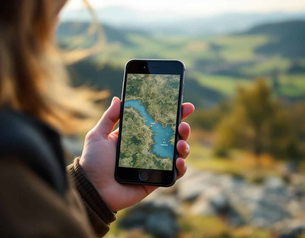
At the end of the 2000s, with the arrival of embedded GPS and touch screens, smartphones became NICs (cartographic information nodes). From then on, the map is no longer a fixed object but a dynamic stream. We navigate in real time, record routes, share discoveries. French startups like Mappy or Géoportail laid the first bricks of geolocation accessible to all.
From the map at your fingertips: the explosion of applications
Mobile has erased the idea of a “finished” map. Today, every user can contribute: report a construction site, add a point of interest, correct a detour. Algorithms ingest this feedback and offer almost instant updates. It is a reversal of logic: the map is no longer only made by experts but fed by the community.
Key features of applications
Between route calculation, 3D visualization, and offline mode, each app seeks to differentiate itself. Some players even integrate weather modules, traffic cameras, or road safety alerts. The challenge: to offer a clear display without overloading the interface, while managing hundreds of thousands of graphic tiles.
The challenges of accuracy
The promise of instant positioning sometimes clashes with urban canyons and dense forests. Smartphone GPS, less powerful than professional devices, wander by a few meters. To refine location, hybrid methods are used: cellular network, Wi-Fi, and even Bluetooth triangulation. These calibrations require a phenomenal amount of data, managed by servers located in France.
Perspectives and upcoming innovations
The desire to better model space gives rise to new trends. AI, capable of recognizing buildings or roads on satellite images, accelerates map updates. France stands out with projects for automatic detection of flood zones or forest inventory, coupled with deep learning.
Artificial intelligence and mapping
By examining thousands of aerial images, a neural network identifies emerging constructions even before a postal address is assigned. French departments are testing these prototypes to monitor urban growth or anticipate transport needs. Ultimately, this automated processing will reduce the time between fieldwork and the consultable map from a week to a few hours.
Augmented reality
Looking at the street through your smartphone and seeing the name of each house, bus schedules, or the history of a monument is already possible. By coupling AR with cadastral databases and iconographic archives, virtual walks are built in the heart of cities. Tomorrow, these solutions could guide maintenance operators or enrich tourist visits in real time.
Frequently Asked Questions
How did IGN launch digital mapping?
In the early 1960s, IGN experimented with digitizing topographic surveys using magnetic markers and scanners to convert paper tracings into computer data.
Why does paper mapping still exist today?
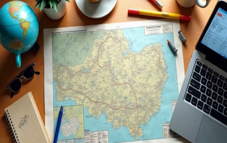
For offline exploration, educational mapping, and historical aesthetics. Many hiking or cycling enthusiasts prefer the reliability of a printed map, without depending on a battery or signal.
What is a GIS?
A Geographic Information System combines georeferenced data and spatial analysis tools to visualize, query, and model a territory – from urban management to environmental monitoring.
Where to find free cartographic data in France?
IGN offers a very rich open data portal, and the government site data.gouv.fr centralizes many geographic datasets.
How to contribute to improving online maps?
Several platforms – OpenStreetMap, Waze, or even some municipal services – allow adding information: road signs, points of interest, or road modifications.
{
“@context”: “https://schema.org”,
“@type”: “WebPage”,
“about”: {
“@type”: “Thing”,
“name”: “Evolution of French cartography”
},
“keywords”: [“French cartography”, “paper map”, “mobile application”, “GIS”, “geomatics”]
}