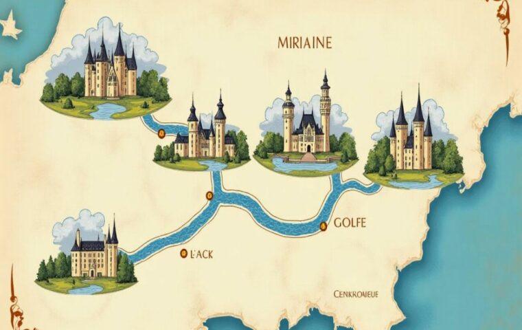
Preparing a “roadmap” in Spain means outlining a clear strategy for your journey: preferred routes, travel time, cultural stops, costs, and smart alternatives. As a local journalist passionate about urban planning and heritage, I offer you here a comprehensive and practical guide to planning a tailor-made road trip, from the Pyrenees to Andalusia, and on to the Canary Islands.
The roadmap is your travel plan: objectives, stages, time, budget, risks.
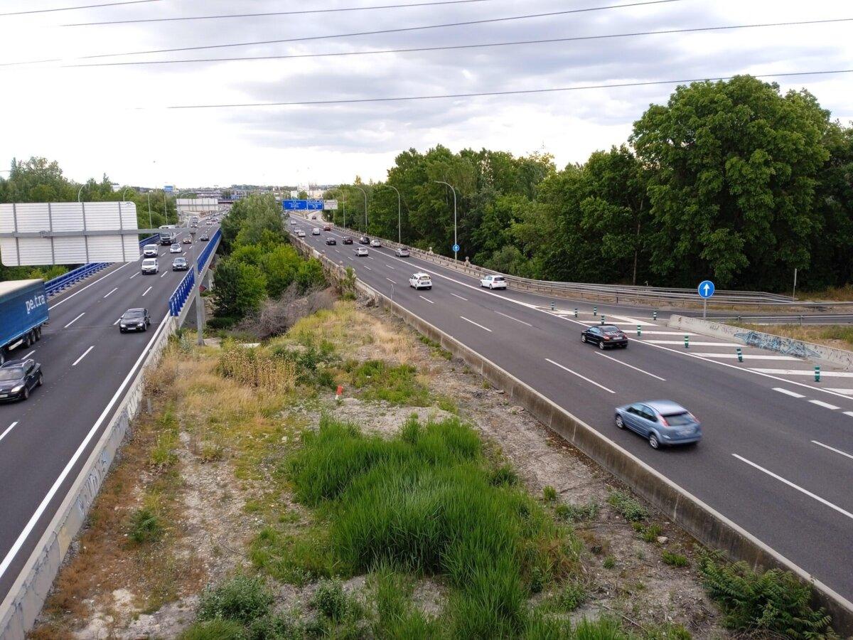
Dense and reliable network: free autovías (A-xx), toll autopistas (AP-xx), national roads (N-xx), regional roads.
7 key detailed routes + examples for 7/10/14 days.
Best seasons: spring and autumn for the South, summer for the North “Green Spain”.
Sommaire
Roadmap: what exactly are we talking about?
In tourism and mobility contexts, a “roadmap” gathers all the preliminary decisions that make a road trip reliable and enjoyable: the main theme of the trip (coasts, art cities, national parks), the list of stops, realistic timings, backup plans in case of unforeseen events, fuel/toll budget, and points of caution (weather, high season, parking, local LEZs). This document must be actionable: addresses, driving times, visiting windows, key reservations, and a priority matrix if you need to scale back.
In Spain, the task is made easier by a well-meshed, legible road network and uniform signage. The real quality lever remains your ability to choose routes suited to your travel intent: fast to optimize transfers, or scenic to multiply heritage stops.
Know the Spanish network in 5 minutes
The nomenclature helps you read the map:
- A-xx: autovías are fast, generally free highways, often created by doubling old national roads.
- AP-xx: autopistas are toll highways on long corridors. A more direct and smooth alternative depending on sections.
- N-xx: carreteras nacionales are interregional roads, good for crossing landscapes and secondary towns.
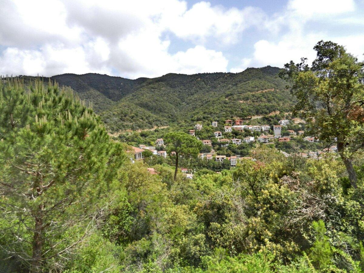
- Regional networks: provincial codes (e.g., GI-682 on the Costa Brava) often very scenic.
Six radial axes depart from Madrid (A-1 to A-6), complemented by large arcs: the A-7 runs along the Mediterranean from Andalusia to Catalonia, the A-8 runs along the northern Atlantic cliffs, the N-260 runs at the foot of the Pyrenees, while the islands (Balearic, Canary) have efficient networks adapted to volcanic terrain. Map tip: always overlay “fastest route” and “most interesting route.” In practice, combine A/AP for connections, then N/regional roads for points of interest.
Essential driving rules and good practices
Goal: zero surprises and margins. Useful benchmarks to include in your roadmap:
- Indicative speeds: on highways/autovías, keep in mind a usual regulatory ceiling of 120 km/h. Conventional roads impose lower and variable limits depending on sections and local conditions. Check the signage and adapt to weather and traffic (useful reference: educational articles from the DGT).
- Tolls: present on certain autopistas (AP-xx). Compare cost vs. time savings in your plan. Most major routes offer a free alternative A-xx/N-xx that is only slightly longer.
- Documents: valid driving license, insurance, vehicle registration. Strict compliance with seat belt use and phone/child seat rules. Low tolerance for alcohol.
- Weather: Andalusian heatwaves, frequent rain in the North, occasional snow episodes at altitude. Adapt your schedule and plan hydration breaks.
- Cities: low emission zones (LEZ) and regulated parking. Park on the outskirts and reach the center on foot or by local transport.
Before departure, review: warning triangles and vests, tire pressure, spare wheel/kit, cables, sunshade, and supplementary apps (parking, charging, local weather).
Tools to map out and adjust your roadmap
Your plan gains robustness if you cross-check several sources:
- MejorRuta: calculate a main route and variants based on distance, time, stops, ascent/descent, urban context. Ideal for balancing toll vs scenic or integrating thematic stops.
- Official sites: maps and infrastructure info from the Ministry of Transport (MITMA), road safety instructions and educational editorials from the DGT, operational weather via AEMET.
- Offline maps: download your areas before entering mountains or white zones.
Golden rule: lock in 70% of your trip and keep 30% flexibility for weather and spontaneous discoveries.
7 thematic itineraries for an inspired roadmap
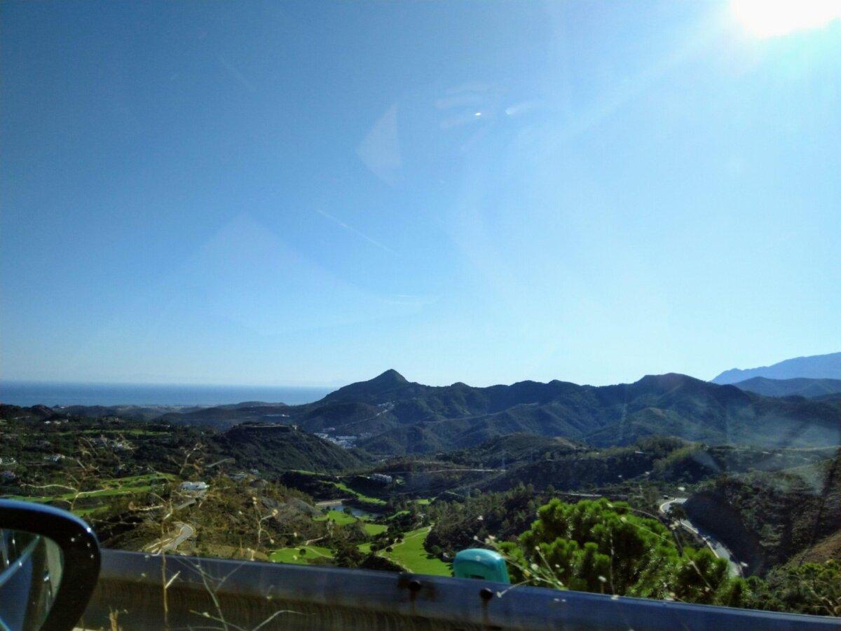
1) The Mediterranean: from the Costa Brava to the Costa del Sol
A coastal ribbon dotted with ports, citadels, and natural parks. To the north, sea lions and turquoise coves of the Costa Brava, medieval villages of the Empordà; further south, the modernist architecture of Valencia and the marinas of Alicante; finally Malaga and its museum-rich hinterland. The fast axis is the A-7 (free) with coastal variants via regional roads to reach coves and viewpoints. In high season, anticipate traffic slots and target beaches and monuments early in the morning. Stretch the itinerary over 7 to 10 days to allow for swimming and gastronomy breaks.
2) White Andalusia: Seville → Ronda → Granada → Cordoba → Cadiz
This cultural ring combines Nasrid palaces, flowered patios, perched villages, and sculpted sierras. From Seville, head towards the pueblos blancos via Arcos de la Frontera, Zahara, Grazalema, then Ronda and its dizzying bridge. Next, set course for Granada, then Córdoba and its mosque-cathedral, before concluding in Cádiz, an isthmus city bathed by the Atlantic. In summer, break up the connections and multiply shaded stops. Count on 1,000 to 1,300 km depending on your detours.
3) The “Green Spain”: Basque Country, Cantabria, Asturias, Galicia
A concentration of estuaries, cliffs, pastures, and fishing villages. Follow the A-8 or the old N-634 for gently rolling hills, wild beaches, and surfing sanctuaries. Ideal stops: San Sebastián, Santander, Llanes, Cudillero, Ribadeo, A Coruña, Santiago de Compostela. The humid weather shapes the landscapes: favor summer to maximize coastal hikes. Prepare museum alternatives in case of showers.
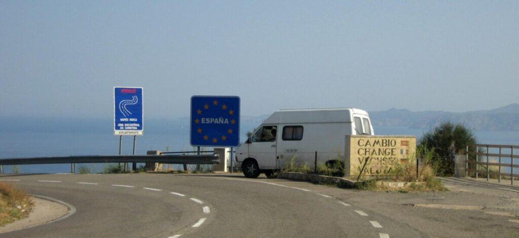
4) The Ruta del Pirineo: along the N-260
Often nicknamed the “Route 66 of the Pyrenees,” the N-260 links mountain passes, glacial valleys, stone villages, and canyons. Segmenting the route by valleys (Cerdanya, Pallars, Ribagorza, Sobrarbe, Alto Gállego) improves the pace: 4 to 6 days to connect the Mediterranean to Aragon while multiplying nature stops. Some sections remain narrow: anticipate fatigue and prefer short stages to keep margin for panoramas and detours.
5) Castile-La Mancha following in Don Quixote’s footsteps
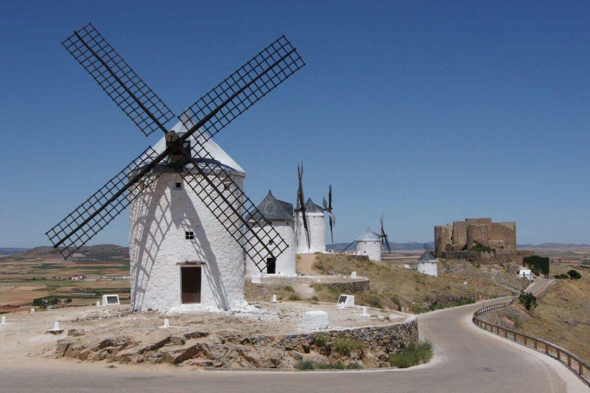
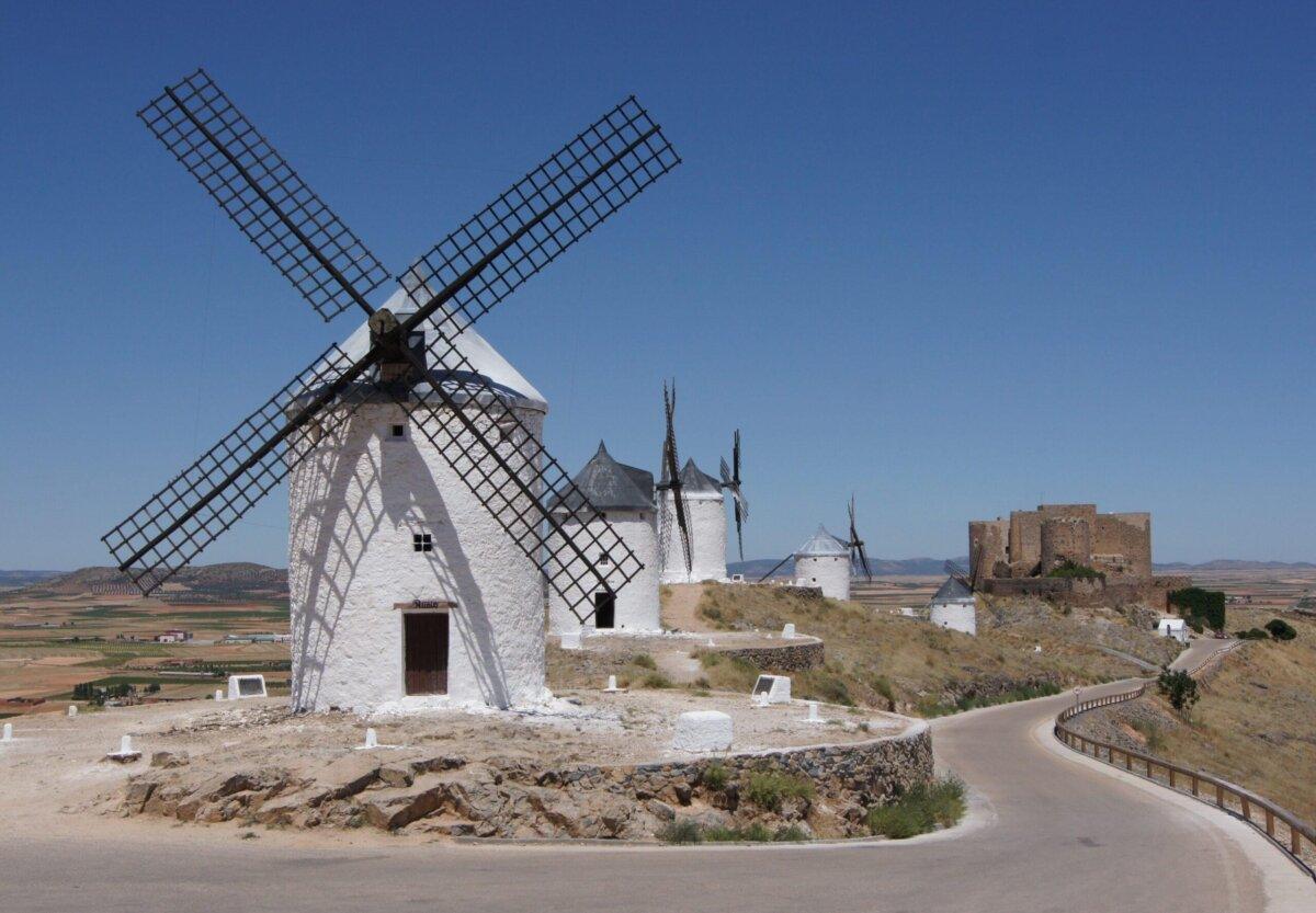
South of Madrid, ochre plateaus, vineyards, and iconic windmills guide a heritage loop towards Consuegra, Campo de Criptana, Almagro, and Toledo. National and provincial roads offer beautiful viewpoints over the low sierras. Ideal in spring and autumn for clear light, mild temperatures, and lively villages outside the heatwave.
6) Royal center from Madrid: Segovia, Ávila, Toledo
A short-radius triad that condenses UNESCO, gastronomy, and plateau landscapes. Via the A-6/AP-6, cross the Guadarrama pass towards Segovia (aqueduct, alcázar). The AP-51 leads to Ávila and its ramparts. To the south, the A-42 leads to Toledo and its Tagus loop. To be scheduled over 3 to 4 days from Madrid, with return via La Mancha vineyards if you extend your trip.
7) Canary Islands: Tenerife and the TF-21 to Teide
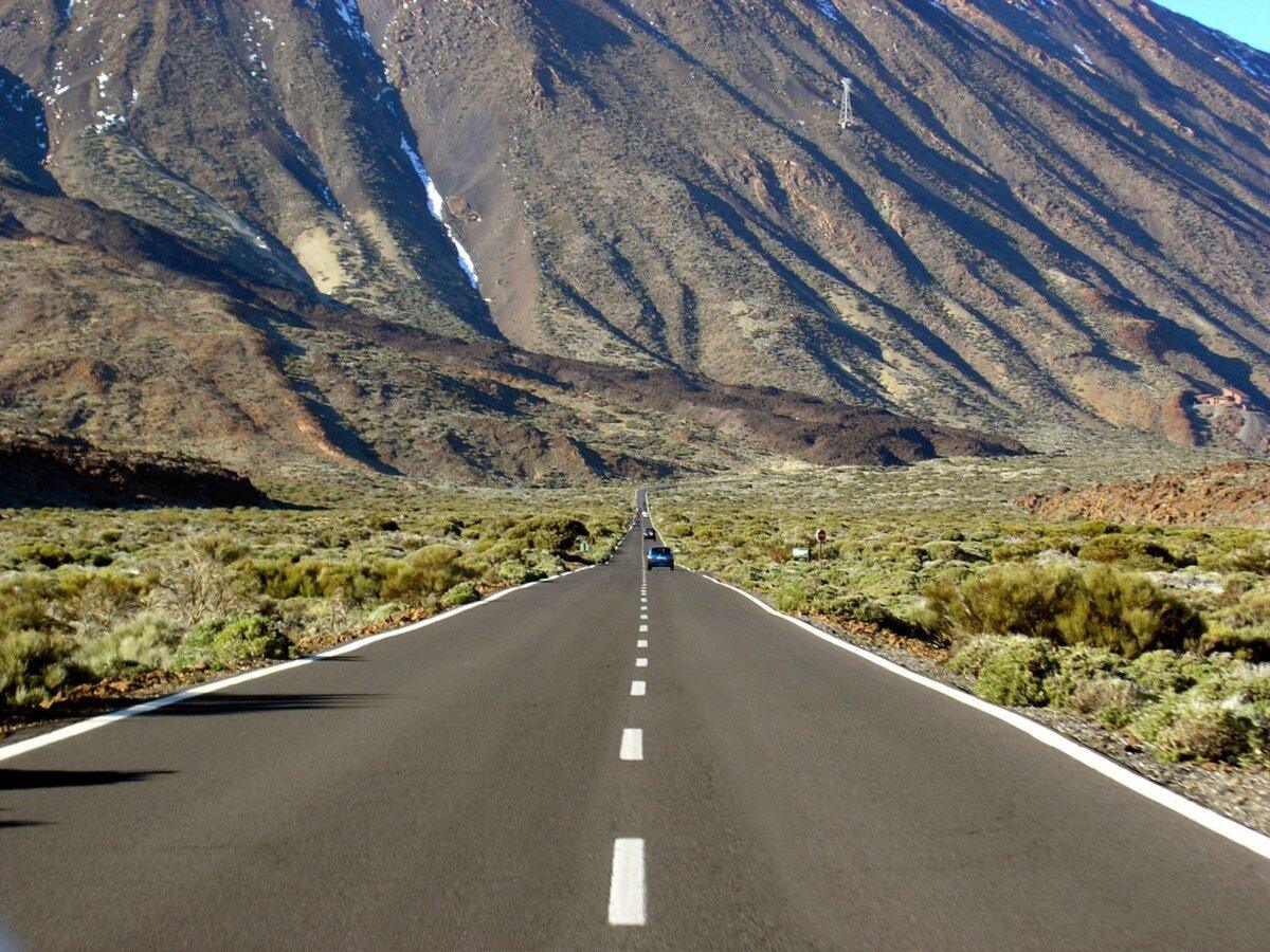
Volcanoes, calderas, and Canary pine forests. On Tenerife, the TF-21 crosses the Teide National Park and offers lunar landscapes. Combine the ascent with stops at La Orotava, Garachico, Masca. In winter, the peaks can be chilly: anticipate layers and monitor weather windows.
When to go? Weather windows by region
Spring (April-June): ideal compromise for Andalusia, Castile, Extremadura, and the Levant. Flowers, local festivals, reasonable crowds outside holiday weekends.
Summer (July-August): aim for the “Green Spain” in the North (cool sea, hikes, fishing villages). In the South, split journeys, drive early, target siesta time for air-conditioned museums.
Autumn (September-October): golden light, sea still warm on the Mediterranean and Andalusian Atlantic. Excellent window for art cities.
Winter: city breaks in the South and Canary Islands. In high mountains, be cautious of snow and fog, use appropriate tires depending on altitude and weather events. Include a weather time margin of 10 to 20% in your roadmap and indoor activities as a plan B.
Budget and trade-offs: tolls, fuel, parking
Spain remains favorable to drivers thanks to very efficient free autovías. The toll autopistas serve as reliable shortcuts depending on corridors and times. Build your trade-off table: toll cost vs kilometers saved vs fatigue avoided. In cities, budget for secure parking and park-and-ride lots. Finally, scenic segments (GI-682, Alpujarras roads, certain sections of the N-260) extend travel time: this is a deliberate choice in your roadmap.
| Decision | Option | Expected gain | When to use |
|---|---|---|---|
| Fast connection | AP-xx (toll) | Time and consistency | Long stage, heavy traffic, time constraint |
| Savings | A-xx / N-xx | Zero toll | No time constraints, tight budget |
| Scenery | Regional roads (GI-/A-/MA-…) | Views and villages | Short stage, photo, heritage |
Driving electric: feasibility and reflexes
The main corridors (Madrid-Valencia, Mediterranean, Atlantic North) are now well equipped with fast charging, with reinforced networks around metropolitan areas and highway axes. In rural mountain areas, anticipate with tighter planning and favor accommodations offering a plug. Adjust your roadmap with a safety reserve of 15 to 20% and fallback points in medium-sized towns.
Driving safety and ergonomics
- Rhythm: 2 hours driving, 15 minutes break. Hydration and driver change if possible.
- Mountain: switch to “anticipation” mode on hairpin bends, manage engine braking, avoid stacking long sites on the same day.
- Metropolises: target “between rush hour and siesta” slots, book parking in advance.
- Weather: adapt to heat waves, coastal rain or fog at altitude. Reschedule the stage if necessary.
Concrete examples of roadmaps
7-day Roadmap — Quick Andalusia
- D1: Seville (Santa Cruz/Triana neighborhoods) → night in Seville.
- D2: Route of the white villages via Arcos → Grazalema → Ronda.
- D3: Ronda → Nerja via the A-7 (Balcony of Europe) → night in Granada.
- D4: Granada (Alhambra early, Albaicín) → tapas evening.
- D5: Granada → Cordoba (Mosque-Cathedral) → night in Cordoba.
- D6: Cordoba → Cadiz (old town) → sunset at Playa de la Caleta.
- D7: Cadiz → Seville (return). Adjust via MejorRuta to include a detour to Jerez/Sherry.
10-day Roadmap — Mediterranean Arc
- D1-2: Barcelona and Modernism.
- D3: Scenic Costa Brava via GI-682 (Tossa → Sant Feliu).
- D4: Ebro Delta → Roman Tarragona.
- D5: Valencia (City of Arts, Ruzafa).
- D6: Albufera and dunes → Alicante.
- D7: Cabo de Gata Natural Park.
- D8: Granada or Alpujarras.
- D9: Museum-rich Malaga.
- D10: Ronda via A-397 and return via Marbella.
14-day Roadmap — Green Spain and Pyrenees
- D1: Bilbao, museum and old port.
- D2-3: Cantabrian coast (Santander → Comillas → San Vicente).
- D4-5: Asturias (Llanes, Cangas de Onís, Covadonga Lakes).
- D6-7: Galicia (Santiago de Compostela, Costa da Morte).
- D8: Lugo, Roman wall.
- D9-12: Trans-Pyrenean via N-260 in sections, valleys and viewpoints.
- D13-14: Girona and medieval villages of the Empordà.
Transport and access: plane + car, ferries, alternatives
To optimize your roadmap, combine a flight to Barcelona, Madrid, Malaga, Valencia or Bilbao, then a rental. The islands are connected by frequent flights and ferries. Check access to historic centers and anticipate long-term parking logistics.
Local life and heritage: select your “signature moments”
Art cities (Madrid, Barcelona, Seville, Granada, Valencia), white villages, perched monasteries, national parks (Ordesa-Monte Perdido, Picos de Europa, Teide), covered markets, seaside tables, flamenco tablaos… Your roadmap benefits from reserving 1 to 2 signature moments per day: a major site + a local experience.
Real estate and tourist urban planning: choosing logistical bases
When traveling, favor two to three “bases” depending on the region (e.g., Malaga/Cadiz to explore western Andalusia, Valencia for the Levant, Oviedo or Santander for the North). Renting on a well-connected outskirts saves budget and stress, while facilitating city entry/exit. Your roadmap then includes daily loops rather than daily relocations.
SEO & semantics: useful queries to integrate into your plan
- Spain road trip 10-day itinerary, Green Spain in summer, Andalusia in one week.
- Scenic routes Spain, N-260 Pyrenees, GI-682 Costa Brava, A-397 Ronda.
- Tolls Spain, free autovías, best times for driving in Spain.
FAQ
Are highways in Spain toll roads?
The autovías (A-xx) are largely free. Some autopistas (AP-xx) remain tolled. Include this choice in your roadmap based on time saved, budget, and comfort.
What is the maximum speed on highways?
Keep a usual limit of 120 km/h on highways/autovías, unless local signs indicate otherwise. On conventional roads, lower limits apply depending on sections.
What period is best for Andalusia?
Spring and autumn offer the best balance of temperature and crowd levels. In summer, split your stages and drive early.
Is the N-260 in the Pyrenees difficult?
Some sections are narrow and winding; plan short stages, drive rested, and check weather/roadworks in advance.
How to calculate a detailed itinerary and variants?
Use MejorRuta to compare distance/time and scenarios with or without tolls, include stops, and simulate your daily loops.
Sources and useful links
- General Directorate of Traffic (DGT) — Driving advice and rules
- Ministry of Transport (MITMA) — Maps and network information
- AEMET — Official weather in Spain
- Spain Tourism Office — Inspirations by region