Overview of Routes in the Écrins
Several major trails crisscross the reserve, from complete multi-day tours to day trips. There are as many routes as ecological niches: paths close to delicate flora, aerial passages above ravines, glacial routes where caution is required. Whether you seek an immersive trek with alpine pastures and refuges, or prefer loops accessible to most, a range of options is available.
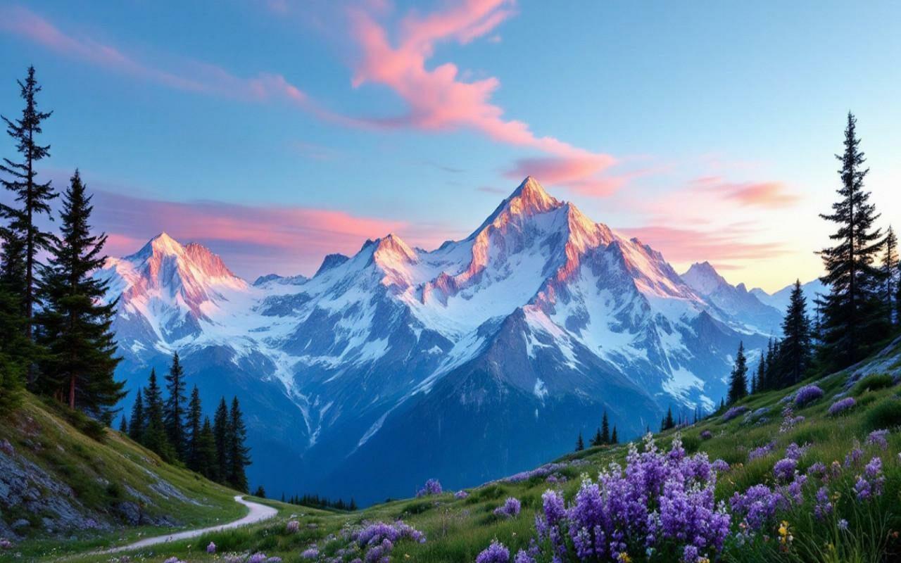
The common thread of these hikes remains the diversity of landscapes. One passes seamlessly from flowery alpine meadows to steep scree slopes, from fresh clearings to steep rocky corridors. So many atmospheres that shape the hiker’s experience. Within this diversity, the routes chosen for this comparison embody a balance between sporting challenge and serene contemplation.
Comparison Criteria
When establishing a comparison, every factor weighs in the final decision. Total duration is the most tangible element to assess commitment: a few hours for a quick loop, several days for complete crossings. In the Écrins park, routes range from 8 km to over 100 km.
The cumulative elevation gain measures the effort. A route with 2,000 m of ascent spread over several passes demands more endurance and physical preparation than a family loop with 500 m of elevation gain. The condition of the trails, sometimes marked by late snowfields or scree, also affects the required technical skill. Hikers equipped with poles and accustomed to walking on unstable terrain will gain stability.
Finally, the logistical aspect should not be underestimated. Access to starting points, proximity to refuges or water points, the possibility of legal bivouacking, and network coverage for safety – these are variables to settle before putting on your boots. The criteria considered here will provide a clear framework to compare each route.
Three Iconic Routes
Here is a selection of three routes that embody both the beauty and the rigor of the Écrins massif. Each presents its own specifics, from full trekking to day hikes, to suit adventurers of all levels.
The Tour of the Écrins in 6 Days
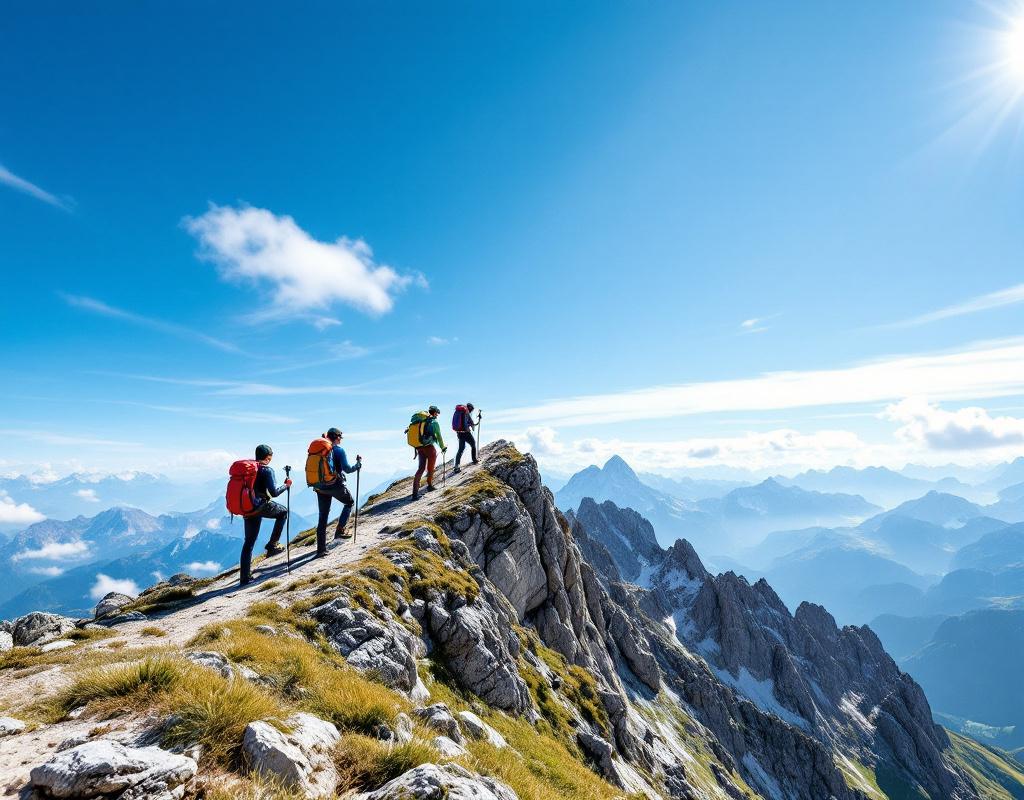
One might think that a complete tour of this caliber is reserved for seasoned mountaineers; however, the route mostly follows marked trails, with technical passages concentrated on a few mountain passes. Spread over six stages, this tour offers a balance between effort and rest, thanks to well-distributed refuges.
- Total distance: approximately 90 km
- Positive elevation gain: 5,500 m
- Nights in refuges: 5
- Required level: good hiker, experience in mountainous terrain
The highlight occurs at the Col de la Temple, where the panorama opens onto the Barre des Écrins and its glacier. At each stage, you cross alpine pastures where marmots and chamois play, while nights under tents or in dormitories offer moments of mountain conviviality.
The Glacier Blanc Trail
This shorter route, ideal for a day or a short two-day loop, leads to one of the most photogenic glaciers in the massif. Starting from Pré de Madame Carle, you gradually climb 800 m of elevation, alternating between laughing forests and multicolored rocks.
The real challenge lies in the final part, where snow can remain late into the season. Light crampons and sustained attention are necessary to safely approach the snowfields. Once you reach the viewpoint, the glacial tongue offers a striking contrast between the pristine white and the deep blue of the crevasses.
The Vallon de la Selle
More discreet, this valley remains a well-kept secret among regulars. Accessible as a loop from Ailefroide, it unfolds a succession of viewpoints and high-altitude lakes. The hike covers about 18 km with a total elevation gain of 1,200 m, adjustable according to your appetite for walking.
The wild aspect of the valley is evident in its shaded passages, sheltered from the wind, then on the finally exposed ridges. For photographers, it is a playground: panoramas of steep slopes, alpine flowers along the trails, and twilight atmospheres when the sun sets over the Meije.
Preparing Your Expedition
A successful hike depends as much on preparation as on the chosen route. Above all, checking the weather forecast remains essential: in the mountains, conditions can change in less than an hour. Summer thunderstorms are frequent in the afternoon, hence the importance of starting early to avoid complications on the ridges.
Planning the stages involves identifying water points, checking refuge availability (often requiring reservations), and anticipating the supply of suitable food. For a multi-day tour, considering energy-dense and lightweight rations saves weight in the backpack.
Finally, informing a close person or a rescue service of your itinerary and expected times is not a superfluous concept. A simple SMS before departure – accompanied by a GPS tracking link – greatly facilitates search operations in case of unforeseen events.
Essential Equipment
- Shoes: high-cut, lugged sole, waterproof
- Poles: adjustable, lightweight, with suitable grip
- Backpack: 30–40 L for a day, 50–60 L for a multi-day trek
- First aid kit: bandages, Compeed, bandages, antiseptic
- Clothing: three-layer system, survival blanket, hat and gloves
- Water and food: minimum 1.5 L water bottle, energy bars, dried fruit
FAQ
- What is the best time to hike in the Écrins?
From late June to early September, the trails are clear and the refuges are open. Snowfields may persist late on the higher passes, so you need to be prepared.
- Is a guide necessary for the Tour of the Écrins?
Not necessarily, if you are accustomed to high mountain hiking and have the appropriate equipment. A local guide reassures novices and shares naturalist knowledge.
- Is it possible to camp freely?
Bivouacking is tolerated between 7 p.m. and 9 a.m., at least 200 m from refuges. Always respect park regulations and the environment.
- How to manage water over several days?
Rely on refuges to refill your water bottle and, at altitude, treat stream water with tablets or a filter. It is best to plan a reserve of one liter per person per day.
{
“@context”: “https://schema.org”,
“@type”: “WebPage”,
“about”: {
“@type”: “Thing”,
“name”: “Hiking routes Écrins National Park”
},
“keywords”: [“hiking”, “Écrins”, “route”, “mountain”, “glacier”]
}