The French regions constitute the primary administrative subdivision of the country. Metropolitan France has 13 regions since the 2016 reform, composed of 96 departments in total. Discover in this comprehensive article the HD maps of each region, their departments, main cities, and administrative structure.
Sommaire
Maps of the 13 French Regions
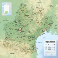
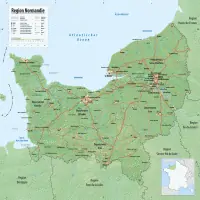
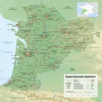
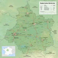
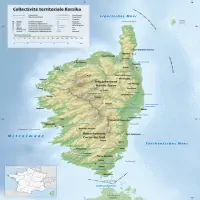
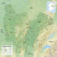
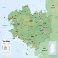
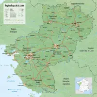
Discover below the HD maps of each of the 13 metropolitan regions:
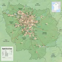
The Regions in France: Definition and Administrative Structure
The French regions constitute the primary administrative subdivision of the country and consist of 18 entities, including 13 metropolitan regions (including Corsica, which has a special status) and 5 overseas regions.
Governed by Title XII of the French Constitution of 1958 and the fourth part of the General Code of Local Authorities, these entities have a legal personality and responsibilities in terms of administrative decentralization and autonomy.
The metropolitan regions are divided into several departments, while each overseas region corresponds to a single department, totaling 96 departments in France.
Until December 31, 2015, metropolitan France had 22 regions before the 2016 reform, which completely restructured the French administrative map.
Institutional Structure and Powers of the Regions
Roles and Prerogatives of the Regions
The regional council, elected by direct universal suffrage for 6 years, constitutes the deliberative body of each region. Its president, elected at the first meeting of the council, embodies the execution of local policies and represents the region at the national and international levels.
A regional economic and social council, a non-elective consultative body, assists the regional council by providing opinions on policies to be implemented, without these opinions being binding.
Attributions and Competences of the Regions
Although they do not have legislative autonomy, the regions possess regulatory power and can collect certain regional taxes, partially reimbursed by the national government.
Their regional budget allows the management of essential infrastructures such as school construction and the organization of local public transport (notably the TER – Regional Express Transport).
The 2016 Administrative Reform of the Regions
Law No. 2015-29 of January 16, 2015, approved on December 16, 2014 and in force since the 2015 regional elections, established the creation of 7 new regions by merging 16 former entities, as part of a major territorial collectivities reform.
The 7 New Regions Created in 2016
- Grand Est (formerly Alsace-Champagne-Ardenne-Lorraine)
- Nouvelle Aquitaine (merger of Aquitaine, Limousin, Poitou-Charentes)
- Auvergne-Rhône-Alpes
- Bourgogne-Franche-Comté
- Occitanie (merger of Languedoc-Roussillon and Midi-Pyrénées)
- Hauts-de-France (formerly Nord-Pas-de-Calais-Picardie)
- Normandie (merger of Haute-Normandie and Basse-Normandie)
The Centre region was renamed Centre-Val de Loire to reflect the territories composing the region. This reform allowed the reduction from 22 metropolitan regions to 13 regions.
Detailed Maps of the 13 Metropolitan Regions
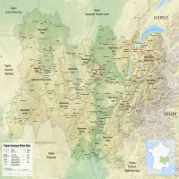
Auvergne-Rhône-Alpes
🔗 Merged Regions

Main Cities
Department Maps (12)


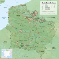
Hauts-de-France
🔗 Merged Regions

Main Cities
Department Maps (5)


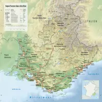
Provence-Alpes-Côte d’Azur
🔗 Merged Regions

Main Cities
Department Maps (6)


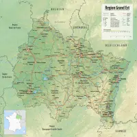
Grand-Est
🔗 Merged Regions

Main Cities
Department Maps (10)




Occitanie
🔗 Merged Regions
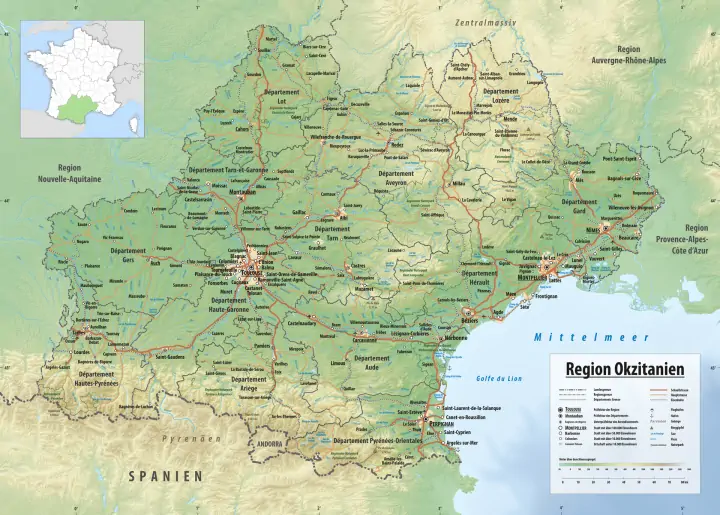
Main Cities
Normandy
🔗 Merged Regions
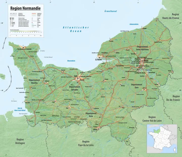
Main Cities
Department Maps (5)


Nouvelle Aquitaine
🔗 Merged Regions

Main Cities
Centre-Val de Loire
🔗 Merged Regions

Main Cities
Department Maps (6)



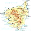
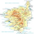
Corsica
🔗 Merged Regions

Main Cities
Department Maps (2)
Bourgogne-Franche-Comté
🔗 Merged Regions

Main Cities
Brittany
🔗 Merged Regions

Main Cities
Pays de la Loire
🔗 Merged Regions

Main Cities
Île-de-France
🔗 Merged Regions

Main Cities
💡 Transparency: This article is informative and independent. The data is regularly updated. Last check: 11/02/2025.