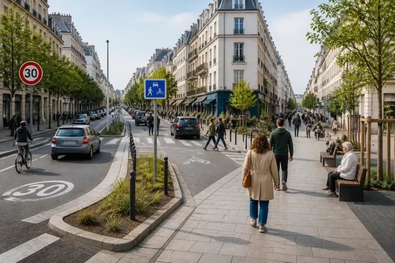
Headlines
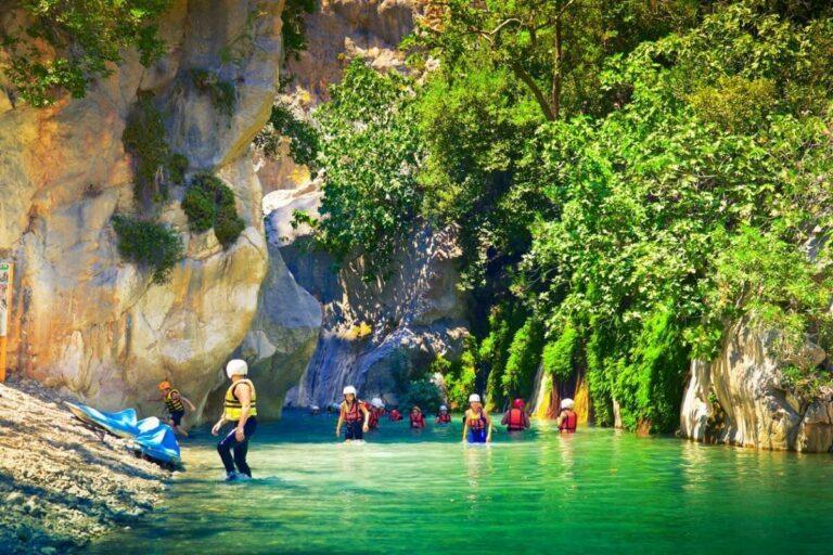
From wild gorges to hidden basins: canyoning in the Verdon
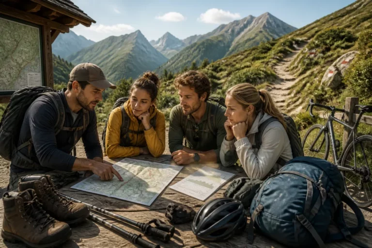
Terres d’Aventure Review: Is the agency really suited for active travel?

Best Property Hunters in Paris in 2026 [Ranking]
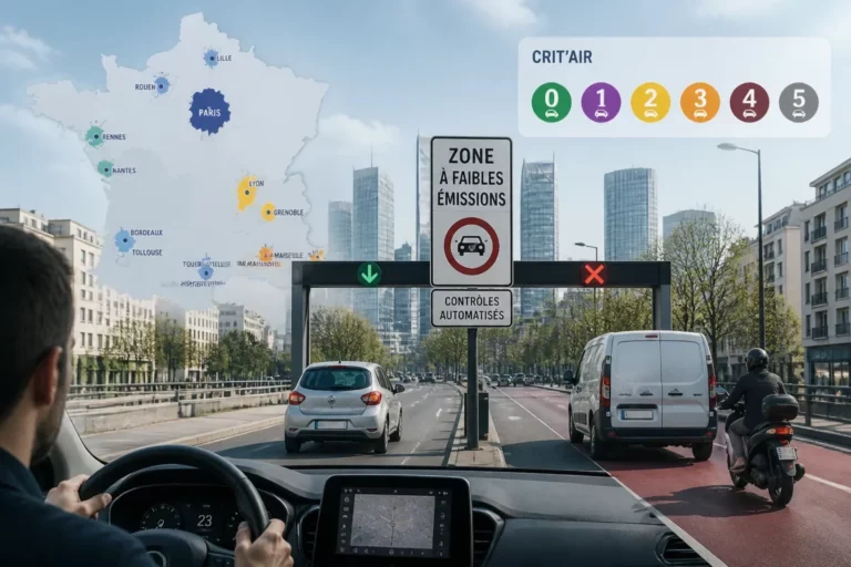
ZFE 2026 in France: which cities are affected and how to read the Crit’Air restrictions without making mistakes
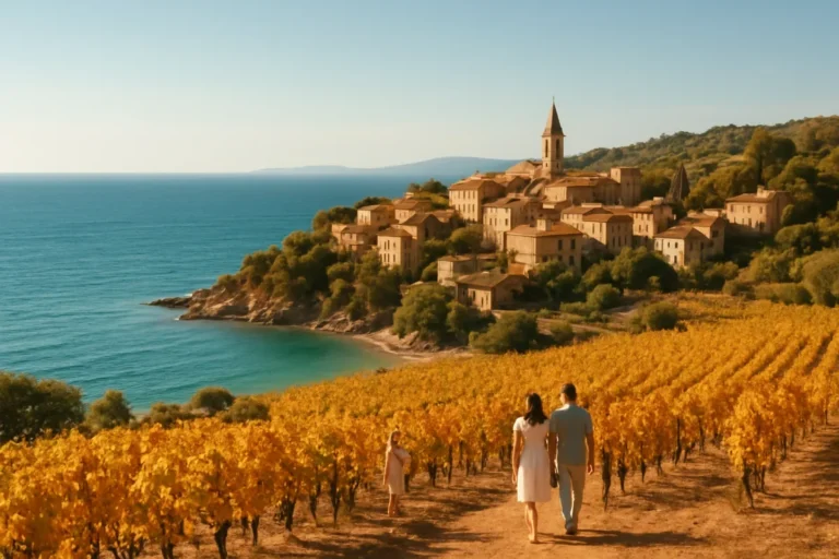
Where to go in France in October: 12 destinations to extend the summer
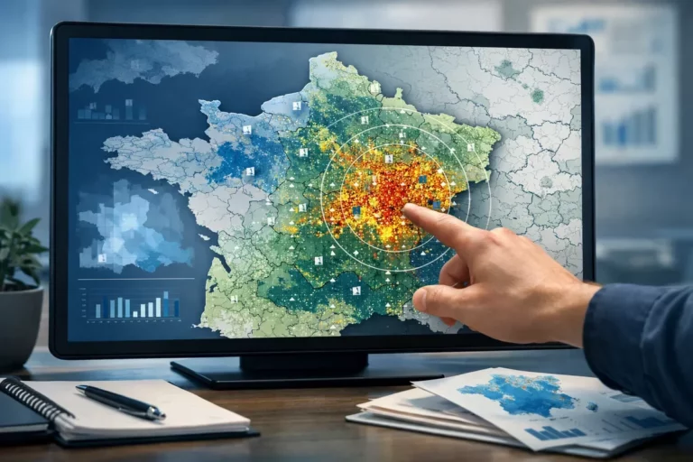
Mapping sports facilities in France: what the numbers really say territory by territory
Latest Articles
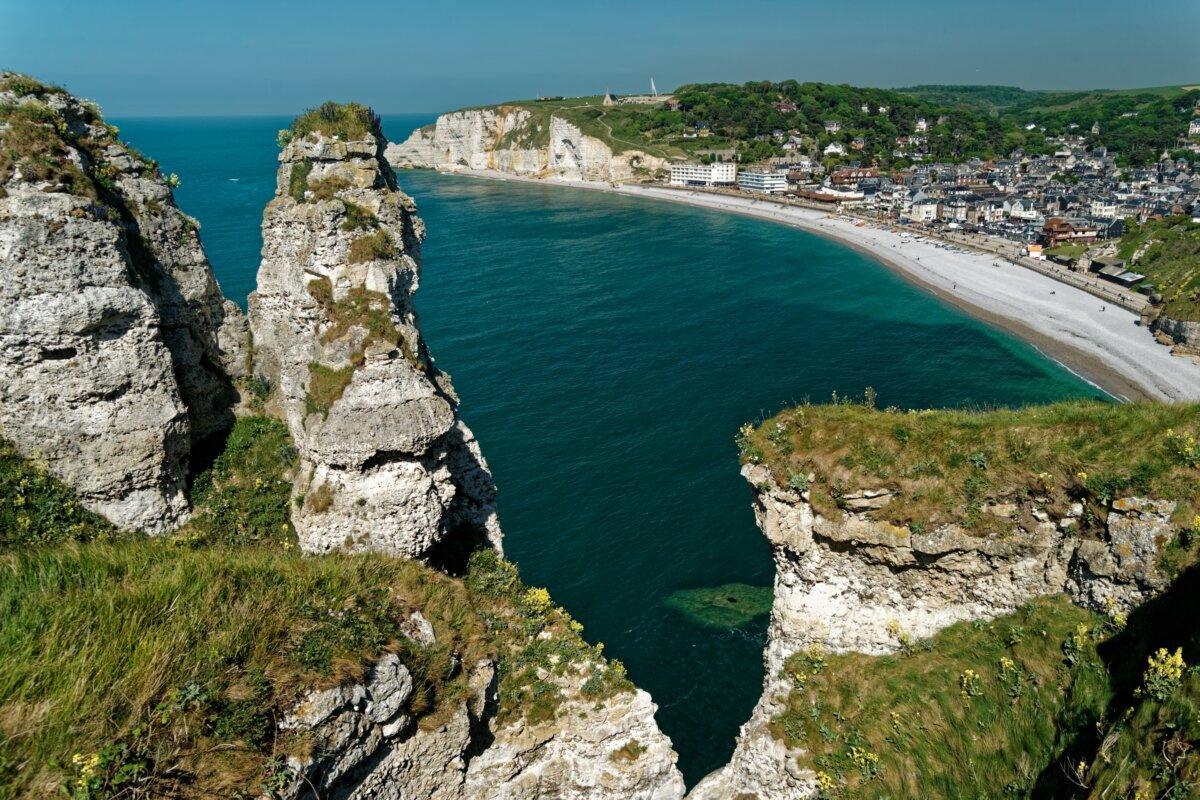
Tourism near Étretat: what to see and do with family around the cliffs?

Travel insurance with a bank card vs dedicated travel insurance: what coverage differences?

Online vehicle registration: the simplest method to submit a complete file and avoid delays
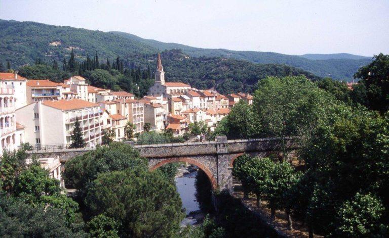
Tourism in the Pyrénées-Orientales: going on vacation to discover the jewels of the Catalan Country

Summer holidays: why choose a campsite for tourism in Charente-Maritime?
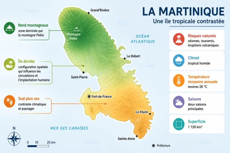
History of Martinique: Analysis of origins, transformations, and current issues
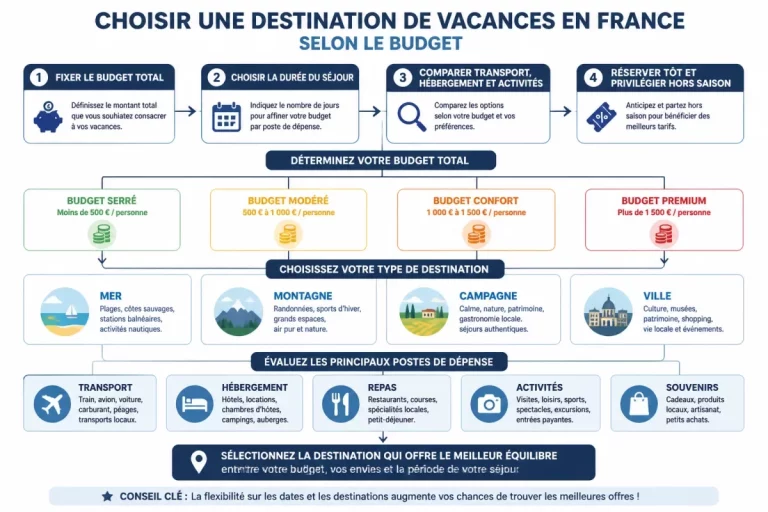
How to choose your holiday destination in France according to your budget: practical grid and concrete examples

Travel insurance for Schengen visa: mandatory coverage, price, and certificate
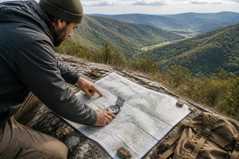
How to read an IGN topographic map: scale, contour lines, and symbols explained
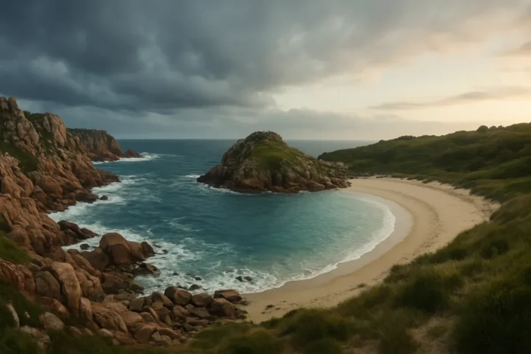
North Brittany or South Brittany: which destination to choose for a first stay?
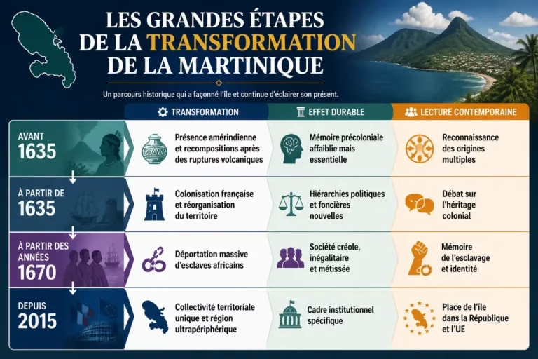
History of Martinique: Analysis of Origins, Transformations, and Current Issues

Annual deductible vs deductible per claim in dog and cat insurance: how to choose and optimize your budget?

Insurance for Exotic Pets (rabbit, ferret, reptile): what guarantees, exclusions, and rates in 2026?
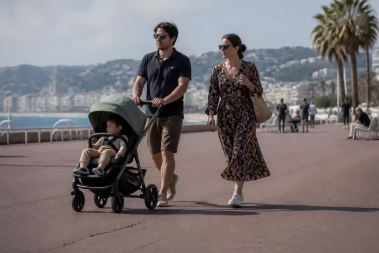
Top 5 French destinations accessible for families with young children: activities, accommodations, and logistics

Why camping appeals so much to the French: what their way of going on vacation reveals

Weekend by train from Lyon: 10 destinations less than 3 hours away

Understanding French Administrative Procedures Without Stress

How to properly prepare your tourism in Burgundy?

On cartes-2-france.com you can find maps of France by themes, maps and plans of French regions, maps of departments and maps of all cities and municipalities in France. For each region, in addition to the detailed geographical map, you also have the departments, department numbers, the main town / prefecture. For each department you have an interactive map and the list of all municipalities.
For quick access to our selection of maps of France, we invite you to visit the page: Maps of France. There you will find various maps of France classified by categories such as geographical maps, road maps, demographic maps of France, economic maps and many other themes. We strive to offer you the best maps of France, with high definition quality.
For each city you have a plan, the postal code, the department number, the department, the administrative region and the latitudes and longitudes (coordinates). Further down you can use a route calculator to determine a itinerary from one city to another and also sports facilities near you.
Administrative map of France with the delimitation of what would become the new (13) regions. You can thus see the former regions before their merger (each color represents a new region after the merger of the old ones).
Also check out a selection of the most beautiful maps of France by following the link.